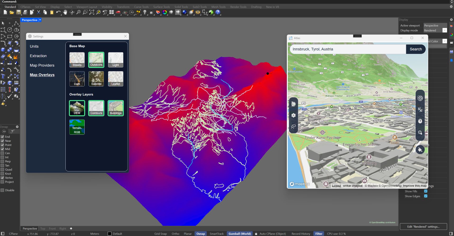
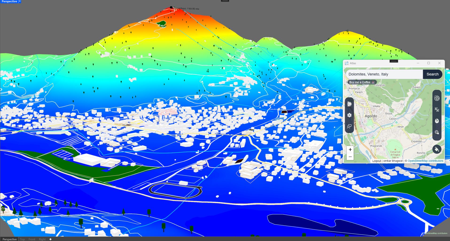
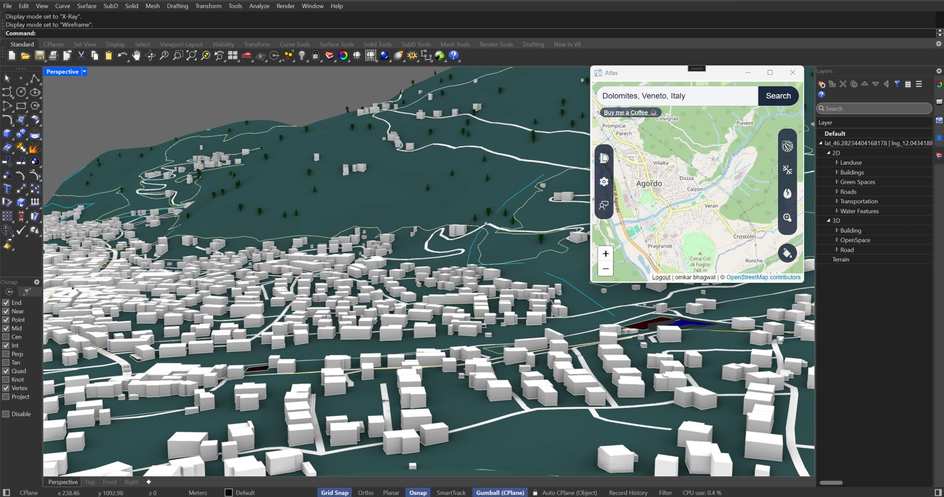
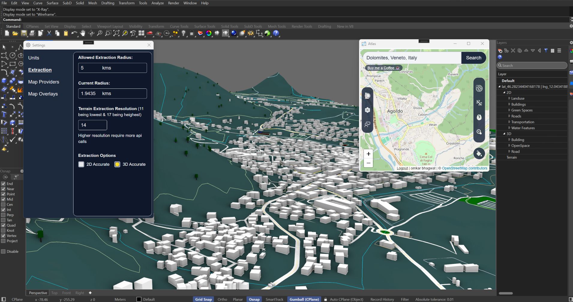
Atlas Connect streamlines geospatial design by importing OpenStreetMap and Mapbox terrain data directly into CAD software with one click. Currently supporting Rhino with plans to expand to multiple CAD platforms, Atlas eliminates manual tracing and cleanup, saving hours of work.
Perfect for GIS professionals and urban planners, Atlas Connect provides organized, accurate geospatial context right inside your design environment.
Currently in free beta – join to help shape the roadmap and access new features first