
GIS
GIS
Sort by
View
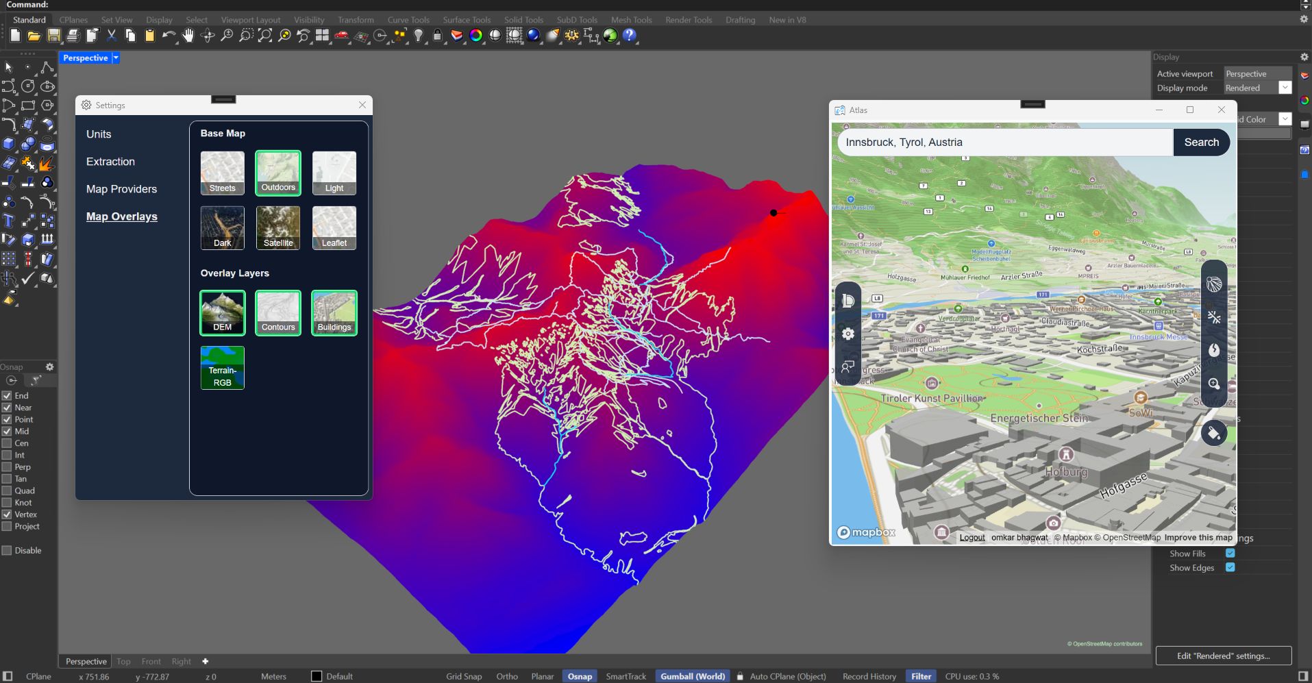
Atlas streamlines geospatial design by importing OpenStreetMap and Mapbox terrain data directly into Rhino with one click, eliminating hours of…
GIS
Sort by

The fast forward for the construction industry